Methodology

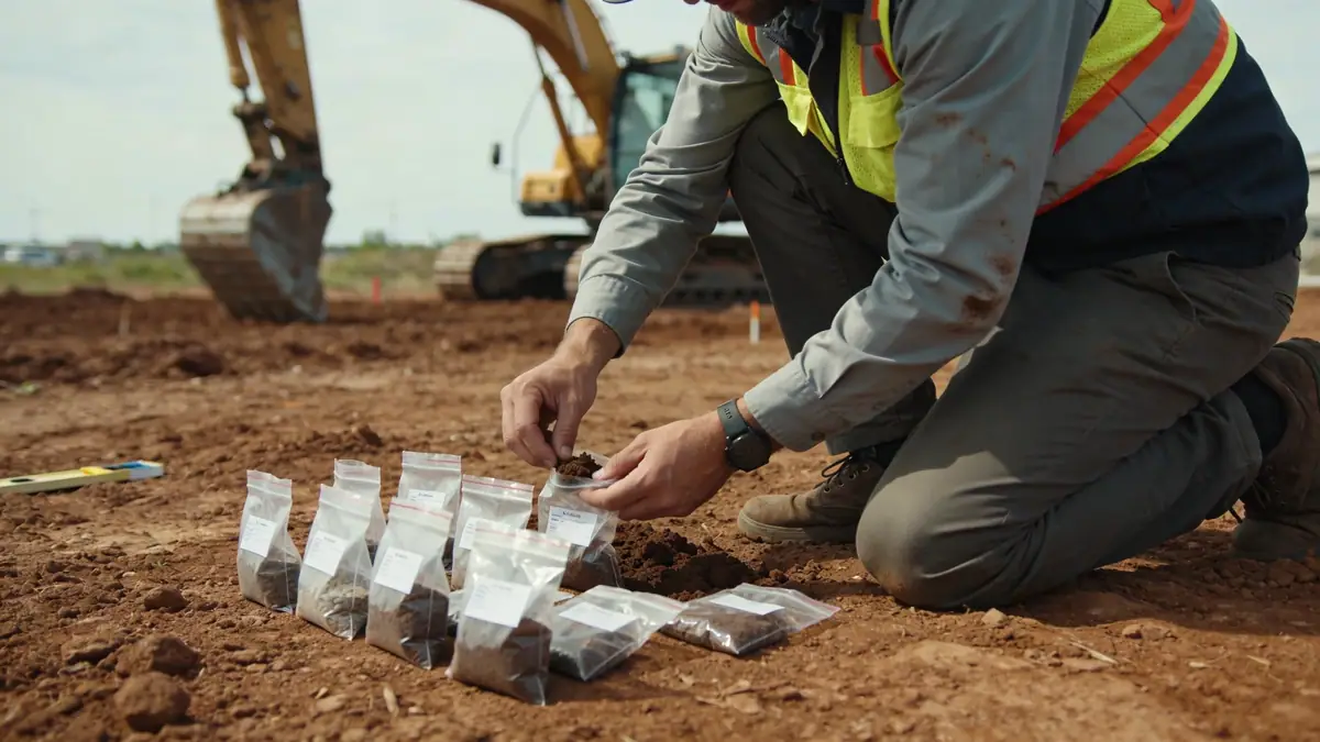
Our approach to standard penetration test in Bognor Regis follows a systematic methodology that integrates site-specific geology with established geotechnical practices. We begin with a desk study reviewing historical maps and records of the area, then mobilize a track-mounted rig capable of reaching depths typical for the region. The test is performed in accordance with BS 1377-9, using a standard split-spoon sampler and a 63.5 kg hammer falling 760 mm. Energy measurements are recorded to correct N-values to N60. For cohesive soils, we also retrieve undisturbed samples via thin-walled Shelby tubes. The entire process is supervised by a chartered geotechnical engineer, and data is compiled into a comprehensive factual report. For more details on the procedure, visit our standard penetration test (spt) page.
Reference Technical Parameters
| Parameter | Reference Value |
|---|---|
| Predominant soil type | Sand and gravel over clay (Lambeth Group) |
| Maximum seismic acceleration (PGA) | 0.1g (low seismicity) |
| Typical groundwater level | 2-5 m below ground surface |
| Bedrock depth | >30 m (Chalk bedrock) |
| Typical N60 range | 10-30 blows/300mm in sand; 5-15 in clay |
Local Considerations — Bognor Regis
Bognor Regis lies on the coastal plain of West Sussex, underlain by superficial deposits of sand and gravel (often with flint) over the London Clay and Lambeth Group formations. Groundwater is typically shallow, between 2 and 5 m, requiring careful dewatering or casing during drilling. The region is classified as low seismicity (PGA < 0.1g) per BS EN 1998-1, so seismic design is usually not a governing factor. However, the variable thickness of the superficial cover—thicker near the coast and thinner inland—demands a flexible approach to borehole depth and sampling intervals. Our team frequently encounters soft alluvial clays in the lower-lying areas and dense sands near Felpham. For complex sites, we recommend a complementary cone penetration test (cpt) to obtain continuous stratigraphic profiles.
Request a Quote
Our team reviews your project and issues an initial report at no cost.
Or write us directly at [email protected]
Services in Bognor Regis
Applicable Standards
- BS 1377-9:1990 – Methods for test for soils for civil engineering purposes. In-situ tests
- BS EN 1997-2:2007 – Eurocode 7 – Geotechnical design. Ground investigation and testing
- BS EN 1998-1:2004 – Eurocode 8 – Design of structures for earthquake resistance. General rules
- ASTM D1586-11 – Standard Test Method for Standard Penetration Test (SPT) and Split-Barrel Sampling of Soils
Frequently Asked Questions
What are the typical soil conditions encountered during standard penetration tests in Bognor Regis?
The area is underlain by superficial sand and gravel deposits (often flinty) over the London Clay and Lambeth Group. Groundwater is shallow, typically 2-5 m depth, and bedrock (Chalk) lies deeper than 30 m. SPT N60 values range from 10-30 in sands and 5-15 in clays.
Is a standard penetration test mandatory for building projects in Bognor Regis?
While not legally mandatory for all projects, BS EN 1997-2 and local building control typically require a ground investigation for any structure with significant loads. For residential extensions, a simple trial pit may suffice, but for new builds or commercial works, a standard penetration test is strongly recommended.
How does the seismic hazard in Bognor Regis affect the standard penetration test requirements?
Bognor Regis is in a low seismicity zone (PGA < 0.1g per BS EN 1998-1). Therefore, seismic site classification (via N60 values) is usually not a driver for foundation design. However, for critical infrastructure or when liquefaction is a concern, our team can still provide the necessary SPT data for assessment.